

China Opposes India’s Move to Name 28 Strategic Locations in Ladakh, MEA Reaffirms Territory’s Status as Integral Part of India
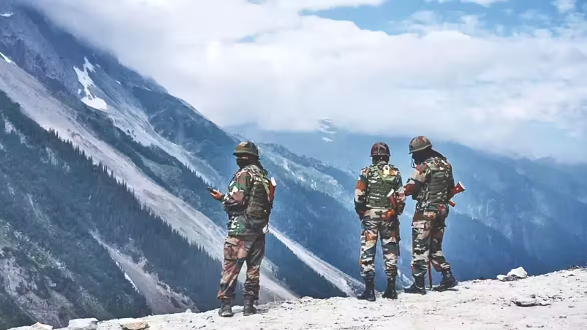
China has opposed India’s decision to assign standardised names to 28 strategic locations and geographical features in Ladakh, claiming that the areas belong to China. In response, India’s Ministry of External Affairs (MEA) reiterated that Ladakh is an integral and inalienable part of India.
Responding to a question during a media briefing in Beijing, Chinese Foreign Ministry spokesperson Mao Ning said China had never recognised what it described as the “so-called Union Territory of Ladakh” and firmly opposed India’s announcement of standardised names for the locations.
“The move is illegal and invalid and cannot change the fact that the relevant areas in the western sector of the China-India boundary have always belonged to China,” Mao said.
The remarks came after India formally identified 28 strategic locations and geographical features in Ladakh on October 2 as part of an official mapping exercise announced by the Ministry of Home Affairs. The initiative aims to streamline official cartography, ensure precise identification of geographical features and improve public awareness of the sensitive border region.
Among the locations identified are Gogra and Hot Spring, two significant friction points along the Line of Actual Control (LAC) that witnessed tensions during the 2020 India-China border stand-off. Both locations are strategically important for Indian patrolling activities in eastern Ladakh.
The border stand-off began on May 5, 2020, following a violent clash between Indian and Chinese troops in the Pangong Lake area. The two sides began the disengagement process in 2022.
The other locations included in India’s mapping exercise are Alisha Giri, Brangsa, Chapchingal Pass, Kanishka Peak, Karun Pir Mountain, Kuksel, Martand Giri, Parpik Glacier, Skamri Glacier, Shachmirik Pass, Shkorga Valley, Zorawar Peak, Dehra Compass, Drak Karpo, Jolmori, Kumarayana Point, Panglung, Rinchen Zangpo, Sakyasri Giri, Guru Rinpoche, Shamal Lungpa, Yangpa River, Marpa Lotsava Ri, Milarepa Kangri, Shiva Ri and Maheshwara Ri.
Shamal Lungpa has also been described as a patrol and staging route dating back to the 1950s.
The latest exchange highlights the continuing differences between India and China over their disputed boundary in the western sector. While India’s move is aimed at standardising the names of strategic geographical features for official use, China has maintained that the exercise cannot alter its territorial claims.