
Balipara Foundation & Assam Forest School organizes Hands-on Geospatial Training for Forest Frontline Staff
Balipara Foundation, with the support of the Assam Forest School, Jalukbari, under the Department of Environment, Forest and Climate Change, Government of Assam, successfully concluded a four-day workshop titled “Field to Map: Hands-on Geospatial Training for Forest Frontline Staff in GPS, GIS, and Spatial Data Analysis Using Freely Available Mapping Applications and Open-Source GIS Tools for Forest Protection and Biodiversity Monitoring.”
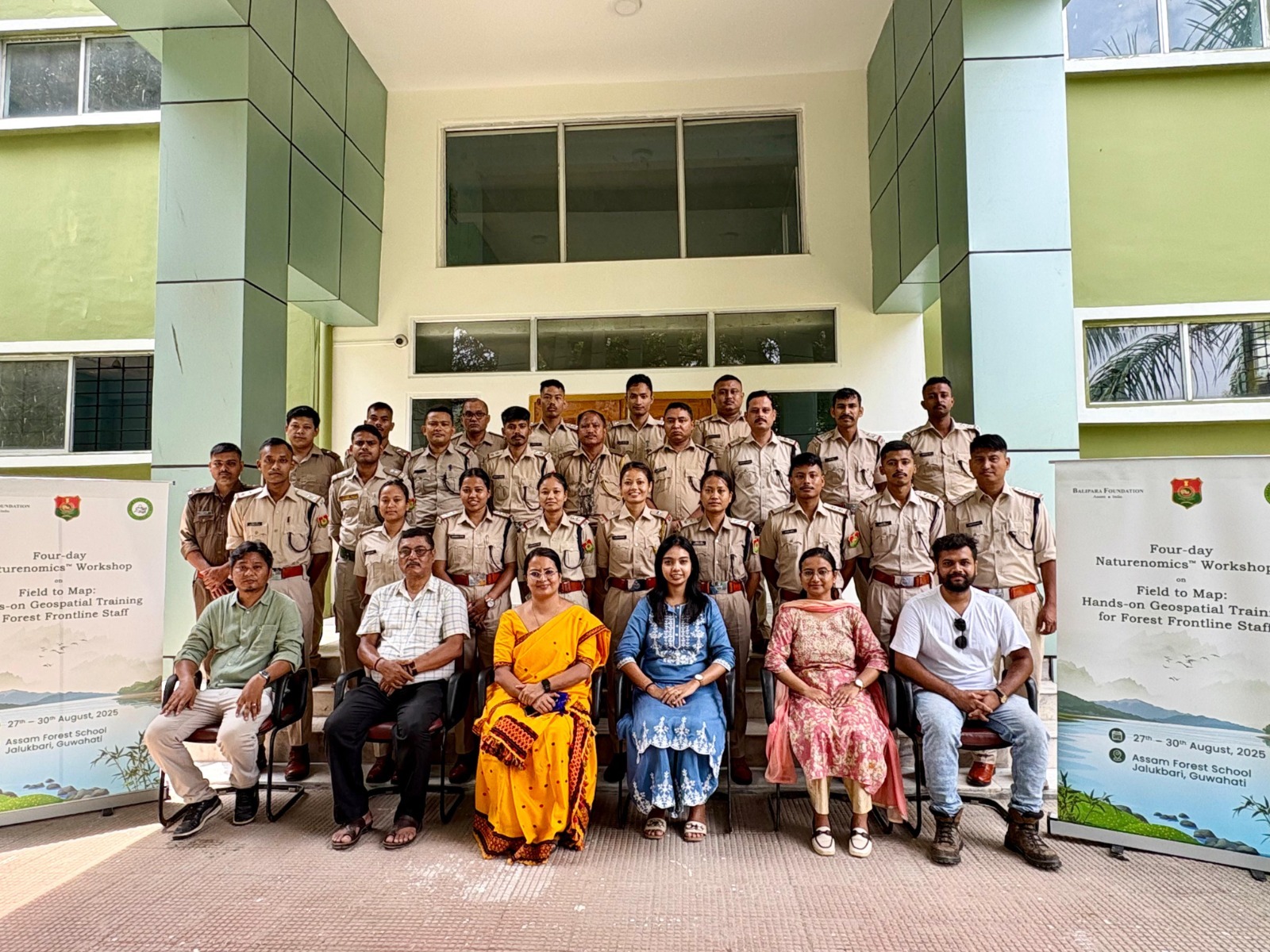
Held from 27th to 30th August 2025, the workshop brought together forest frontline staff from across Assam, including Dibru-Saikhowa National Park, Dhansiri Forest Division, Hailakandiand Doom Dooma Division and others, for an intensive programme that blended practical field exercises with digital training sessions. Over four days, participants learned how to integrate geospatial technology into their daily forest protection and biodiversity monitoring duties. From mastering the basics of GPS devices and geo-coordinates to saving waypoints, demarcating transects and calculating areas, the sessions gradually built their capacity to use technology for precise and effective conservation.
The programme emphasized the use of freely available platforms such as Google Earth for visualizing data, creating polygons, calculating distances and areas, and preparing habitat maps. Mobile-based applications like Google Earth, Mapillary, NoteCAM/Conota Camera and GPS Essentials were introduced to help participants capture data in the field, record images and visualize landscapes in real time. A dedicated session on the Global Forest Watch platform allowed participants to explore tools for near real-time forest monitoring, including the use of proximity alarms to locate GPS coordinates. The final segment of the training introduced participants to open-source GIS software, QGIS, enabling them to analyze vector files, convert KML/KMZ data into shapefiles, and create integrated maps that can support long-term forest management and biodiversity strategies.
Speaking at the workshop, Dimpi Bora, IFS, Director of Assam Forest School highlighted the growing demand and relevance of such capacity-building programmes, stating, “Training in GIS and GPS is one of the most sought-after skill sets for frontline forest staff. It is encouraging to see this knowledge being made accessible through practical, hands-on workshops like this.”
By the end of the programme, participants had not only gained hands-on experience but also the confidence to apply these tools to strengthen biodiversity protection across Assam’s diverse landscapes. The workshop concluded with an interactive discussion and a certification ceremony, where participants were recognized for their dedication to enhancing their technical expertise. This initiative reflects Balipara Foundation’s Naturenomics™ vision of embedding ecological knowledge within everyday economic and community practices, fostering resilient landscapes and empowering local communities in the Eastern Himalaya.