

India Flags UN Map Errors Over Arunachal Pradesh, Aksai Chin
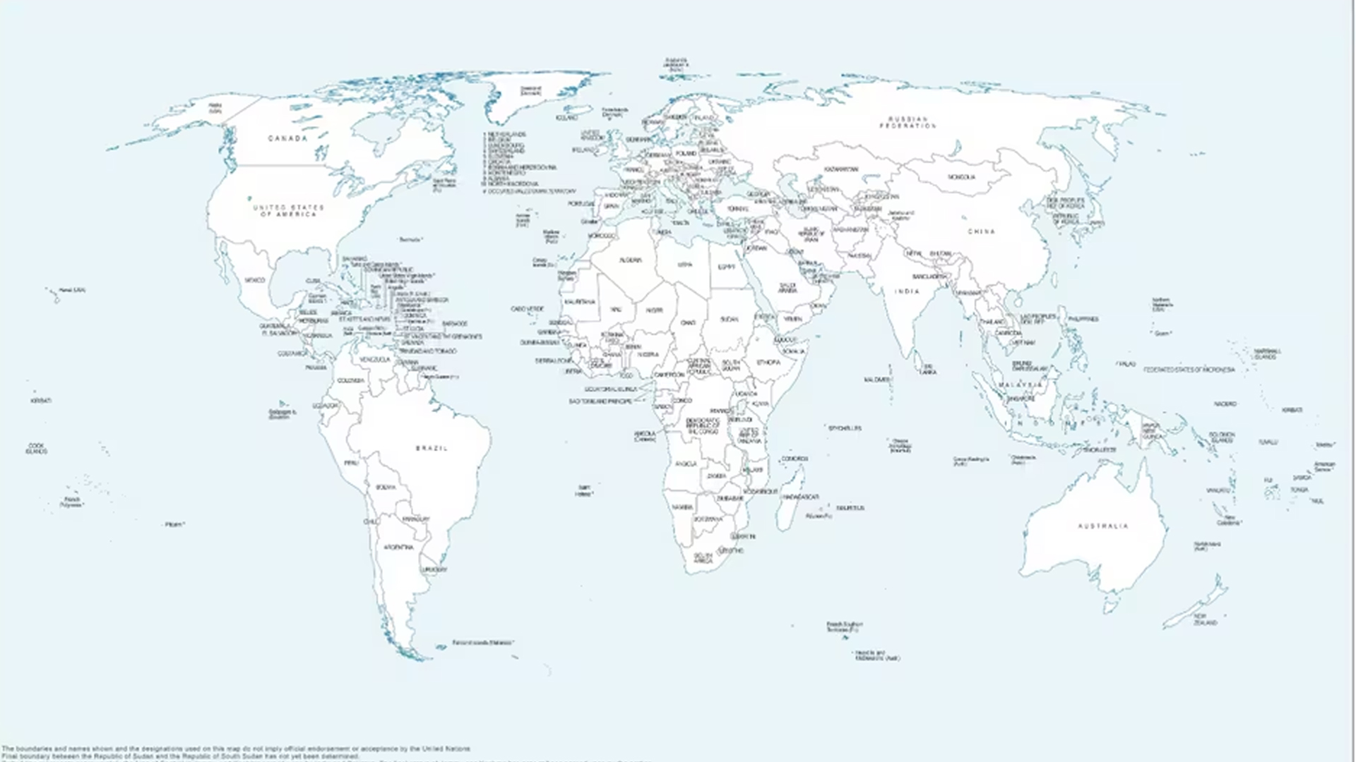
India has raised objections over what it described as “anomalies” in a recently issued United Nations world map, particularly over the depiction of Arunachal Pradesh and Aksai Chin
The issue surfaced shortly after India supported a United Nations General Assembly resolution promoting more accurate and equitable ways of representing geographical regions on world maps.
India Clarifies Its Position
The Ministry of External Affairs made it clear that India’s support for the UN resolution should not be seen as an endorsement of any particular map.
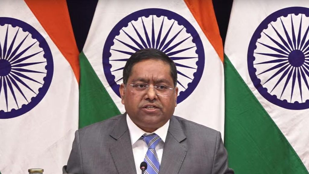
MEA spokesperson Randhir Jaiswal said India had voted in favour of the resolution while also placing its position on record during the UNGA proceedings.
According to Jaiswal, the resolution primarily deals with the use of equal-area map projections, which aim to represent the relative sizes of continents and regions more accurately.
He added that India had already taken up the concerns regarding the disputed depictions with the concerned authorities.
What Does the UN Map Show?
The map, published by the UN on July 1, has drawn attention for its depiction of India’s northeastern and northern territories.
Arunachal Pradesh is shown separately between Indian and Chinese territorial claims, while its border with Nagaland is not represented in the usual manner.
Similarly, Aksai Chin appears as a separate region between India and China.
The UN has not publicly provided a detailed explanation for these particular representations.
The map also marks the Line of Control (LoC) in Jammu and Kashmir with a dotted line. A footnote describes it as an approximate LoC agreed upon by India and Pakistan and notes that the final status of Jammu and Kashmir remains unresolved between the two countries.
India’s Position on Arunachal Pradesh and Aksai Chin
India has consistently maintained that Arunachal Pradesh is an integral part of the country.
New Delhi has also repeatedly stated that the entire Union Territory of Jammu and Kashmir and Ladakh, including Aksai Chin, is an integral and inalienable part of India.
Why Is the New Map Significant?
The controversy comes against the backdrop of a UNGA resolution titled “Correct the Map”, backed by the African Union and adopted on September 4.
The resolution seeks to encourage more balanced cartographic representation, particularly of Africa, where traditional world maps can significantly distort the actual size of landmasses.
The initiative focuses on equal-area projections, which preserve the relative size of regions more accurately.
One example is the Equal Earth projection, introduced in 2018. Unlike the widely used Mercator projection, it keeps the relative areas of continents closer to their actual proportions, although this results in some distortion of their shapes.
The Bigger Picture
India’s objection is therefore focused not on the UN’s move towards more accurate map projections, but on the specific territorial representations appearing on the map.
New Delhi has made it clear that supporting the principle of more equitable cartography does not amount to accepting maps that, in India’s view, misrepresent its territorial boundaries.